
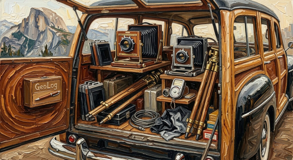
GeoLog Planner is your location‑aware companion for planning photo shoots, scouting locations, and returning to the places that inspire you. It automatically displays GPS coordinates, altitude, heading, time, and even current weather and astronomical data for every photo you take. Add notes, capture ideas for future visits, and photograph GeoLog’s built‑in photo slate with your external camera to embed precise location context into your workflow.
Perfect for photographers, travelers, and creators who want to remember not just where they were—but why it mattered.
Learn More: GeoLog
You found the perfect spot. Now find it again.
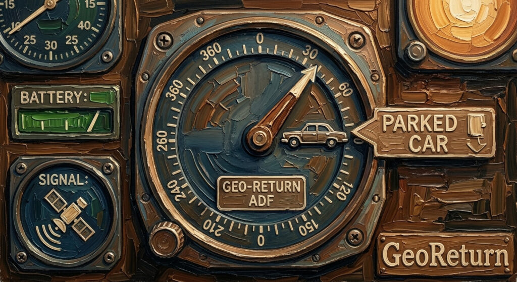
Maps can get you to the parking lot — but they can’t walk you back to the exact rock, overlook, or tide pool where you stood. GeoReturn can.
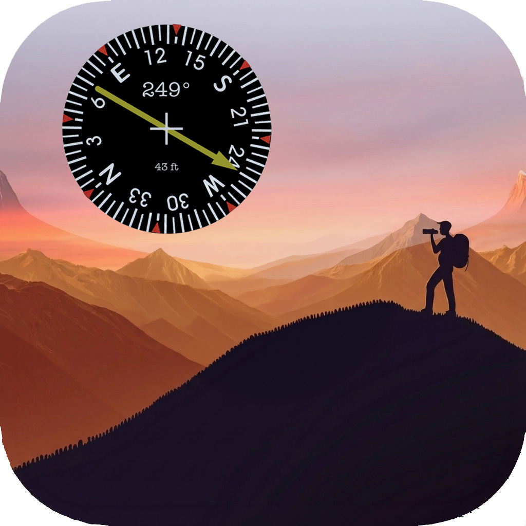
Mark any location with a tap. When you’re ready to return, GeoReturn’s ADF-style compass points you directly to your spot — bearing, distance, and a clear directional arrow guiding every step. No addresses, no roads, no guessing. Just a straight line back to exactly where you were.
Perfect for photographers scouting locations, hikers marking campsites, anglers finding their spot on the water, or anyone who needs to return to a precise point that maps simply can’t name.
Learn More:GeoReturn
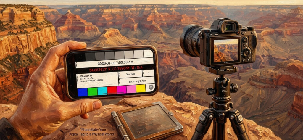
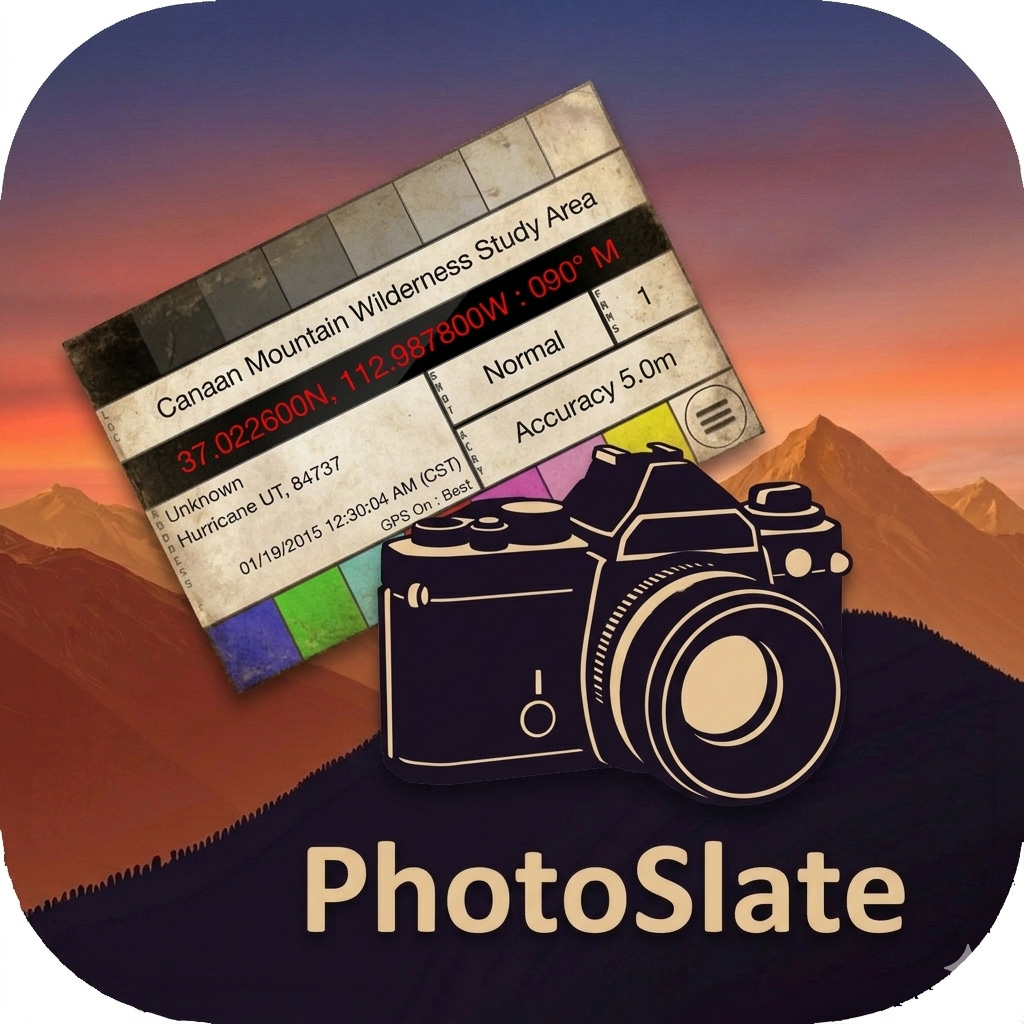
PhotoSlate is a location-aware slate app designed for photographers using mirrorless or DSLR cameras without built-in GPS. Inspired by the classic filmmaker’s clapperboard, PhotoSlate is meant to be photographed at the start of each shoot—embedding critical metadata into your workflow with zero friction.
Learn More: PhotoSlate
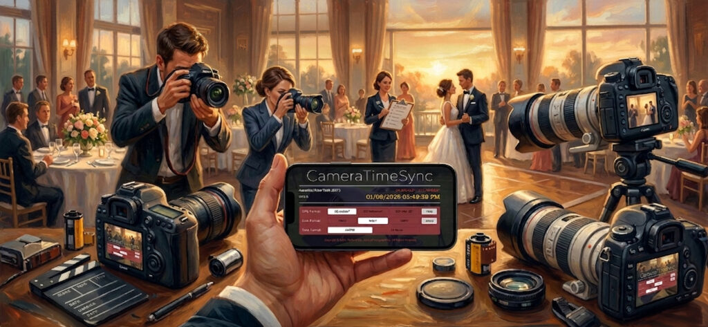
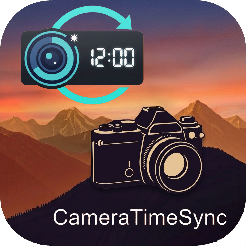
CameraTimeSync is a precision cue card app built for photographers working with multiple cameras. Before your shoot, simply capture the CameraTimeSync screen with each device—then use Lightroom to align photo timestamps across all cameras, regardless of clock drift.
The latest version improves clarity with enhanced GPS and time display, adds optional GMT/Zulu time for global workflows, and offers an optimized layout for iPad screens.
Learn More: CameraTimeSync