
GPS Return Navigation for iPhone
You found the spot. The one that took forty minutes of scrambling to reach — the ledge above the treeline, the tide pool at the north end of the beach, the exact bend in the trail where the light fell through the canopy just right. You shot it, you left, and now you need to get back. Not to the trailhead. Not to the general area. To the spot.
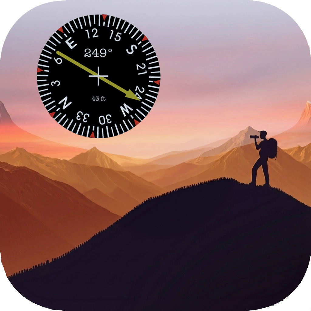
GeoReturn is the app you open when the address doesn’t exist and the map pin isn’t close enough. Mark any location with a single tap, then return to it with an ADF-style compass that points directly toward your saved coordinates, bearing and distance updating in real time as you walk.
The places that matter don’t have addresses
Standard navigation was built for destinations that already have names. Street addresses, business listings, parking lots. It works well for those. It has no useful answer for the rock you balanced a tripod on at 5 AM, or the precise tide pool position that only shows the composition you’re after at a specific water level.
GeoReturn was built for those places. When you’re standing somewhere worth returning to, you mark it — GPS coordinates saved to the meter, no cell signal required. When you return, the ADF compass is your only instrument. The bearing arrow points to your mark. The distance counts down. You walk toward it. That’s the entire workflow, and it doesn’t require any of the infrastructure that standard navigation depends on.
The ADF (Automatic Direction Finder) interface is borrowed from aviation, where the same problem exists: point toward a fixed beacon regardless of what direction you’re heading. In GeoReturn, your saved spot is the beacon. The compass rose rotates with your heading so north always reflects true north, while the bearing arrow stays locked on your destination. When the arrow points straight up, you’re walking directly toward it.
What’s inside
ADF compass navigation The core instrument: a compass rose with a bearing arrow that locks onto your saved coordinates and points toward them continuously as you move and turn. Unlike a map that requires you to orient yourself mentally, the ADF compass is always relative to the direction you’re facing — follow the arrow, and you arrive. Distance updates in real time in feet/miles or meters/kilometers.
Mark any spot Save your exact GPS position with a single tap from the navigation screen. Name the spot or accept the default timestamp name and rename it later. Marks are stored on-device with no cloud account, no login, and no network required — your saved locations are always available, even in areas with no cell coverage.
GeoLog integration If you use GeoLog to scout and track photography locations, any saved GeoLog location can be sent directly to GeoReturn with one tap. GeoReturn opens with that location loaded as the active navigation target and saves it to your spots list. The heading data GeoLog records — the direction the original photo was taken — is passed through to GeoReturn, so the compass can point you not just to the coordinates but to the exact camera position and facing direction.
Spot management Every saved location lives in the Spots List with its name, saved date, and live distance from your current position. Tap any spot to set it as your navigation target. Spots can be renamed, and the detail view shows full coordinates, altitude, and reverse-geocoded address for reference.
Works entirely offline No internet connection is required for any part of GeoReturn’s core function. GPS location and compass heading come from your device’s hardware. Your spots are stored locally. Navigation works in the field, in the backcountry, on the water — wherever you’re working.